Barr Beacon
Barr Beacon Local Nature Reserve (LNR) is located 5km (3 miles) east of Walsall town centre. Parking is available off the junction of B4154 Beacon Road and Bridle Lane (SP060967). The trail can be steep and muddy in places, so it’s a good idea to wear suitable walking boots. Barr Beacon Quarry (also known as Pinfold Lane Quarry) can be accessed by crossing Beacon Road and taking the public footpath opposite to Bridle Lane. The entrance to the quarry is on your left. Beacon Road can be very busy so take care when crossing.
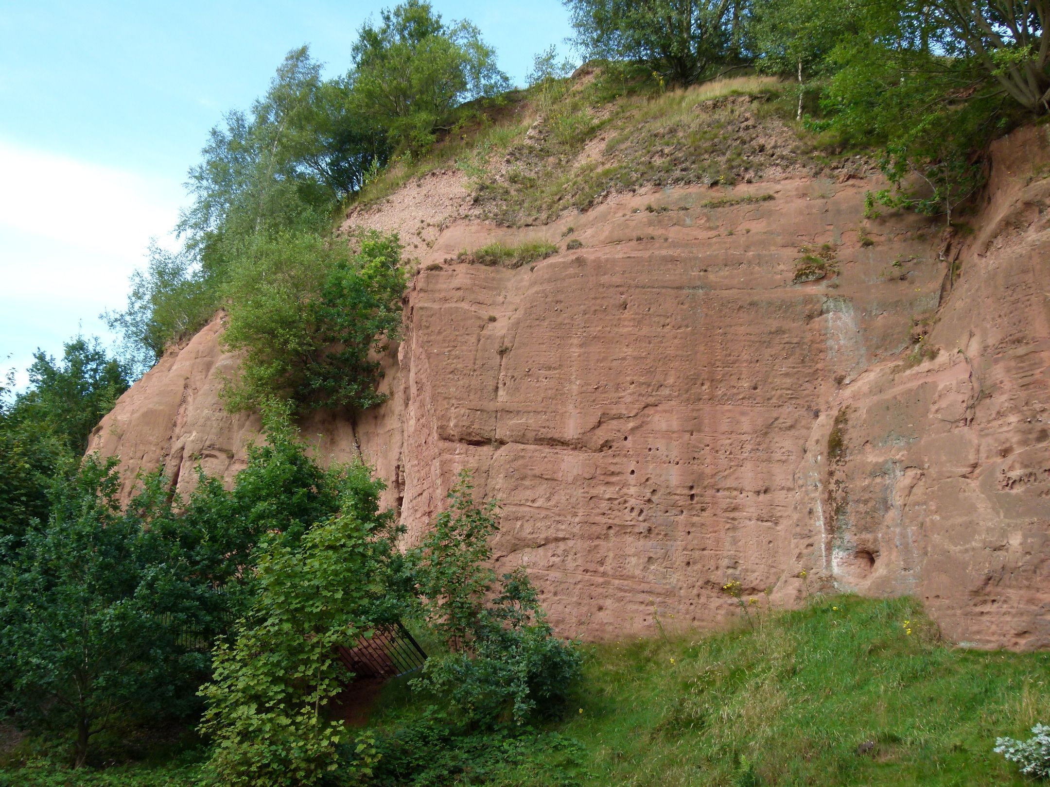
Pinfold Quarry, Barr Beacon
Barr Beacon and the surrounding area were shaped by glacial and subsequent processes of erosion at the end of the Ice-age but it’s the rocks forming the ridge that make it such a distinctive landscape feature. The rocks were deposited in the deserts of early Triassic age, 241 – 248 million years ago. Two distinct rock units are present. The lower, older unit is a sandstone with thin beds of quartzite breccia known as the Hopwas Breccia which now can only be seen in the quarry. This southern end of the ridge has been affected by an east-west fracture known as the Barr Beacon Fault which has the effect of a westward displacement so that the quarry is about 100 metres west of the main ridge. Overlying the breccia and forming the hard protective capping to the ridge is the Kidderminster Formation comprising a thick pebble conglomerate with thinner impersistent sandstones. Nearby there is also some evidence of sands and gravels and other features from the Ice-age. The rocks were an important source of aggregates and there were small quarries in a few places along the western (scarp) side of the ridge. The biggest of these is Barr Beacon Quarry in Pinfold Lane which was an important source of building sand and pebbles which were crushed for road metal.
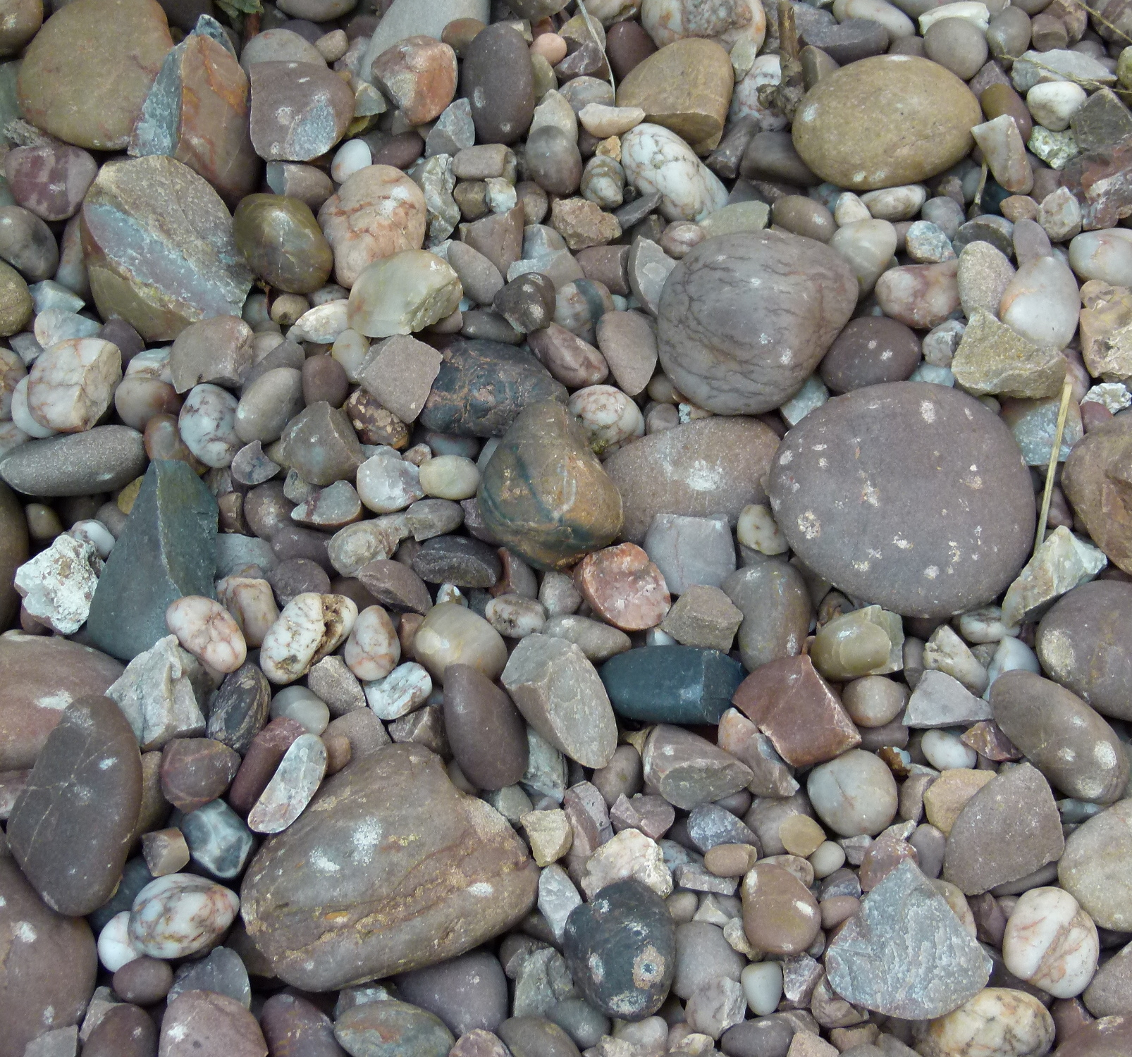
Pitting in the pebbles of Pinfold Quarry
The reserve is owned by the Barr Beacon Trust and managed by Walsall Council’s Countryside Services. Barr Beacon and the Quarry are designated Sites of Importance for Nature Conservation (SINC) and as a local nature reserve for their geological and wildlife value.
View the Barr Beacon Leaflet [Copyright BCGS 2009].
Black Country Geopark
Barr Beacon Local Nature Reserve is one of the Black Country Geopark’s Geosites.
Find your way
Hover over a star to see a label.