Geological Leaflets and Guides
Birmingham’s Erratic Boulders: Heritage of the Ice Age
BCGS has been a partner in a project with Herefordshire & Worcestershire Earth Heritage Trust, the Lapworth Museum of Geology and Birmingham Open Spaces Forum which was funded by the National Lottery Heritage Fund. We have helped to produce 8 trails of walks and/or cycle rides linking many glacial erratic boulders in south-west Birmingham and north-east Worcestershire with Trail 8 almost entirely in Dudley MBC. The project has its own website: https://erraticsproject.org/
View the Erratic Boulder leaflets,
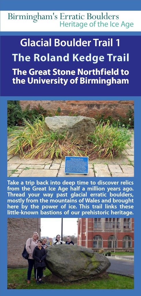
Glacial Boulder Trail 1 – The Roland Kedge Trail. The Great Stone Northfield to the University of Birmingham [Copyright H&W EHT 2022].
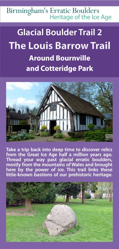
Glacial Boulder Trail 2 – The Louis Barrow Trail. Around Bournville and Cotteridge Park [Copyright H&W EHT 2023].
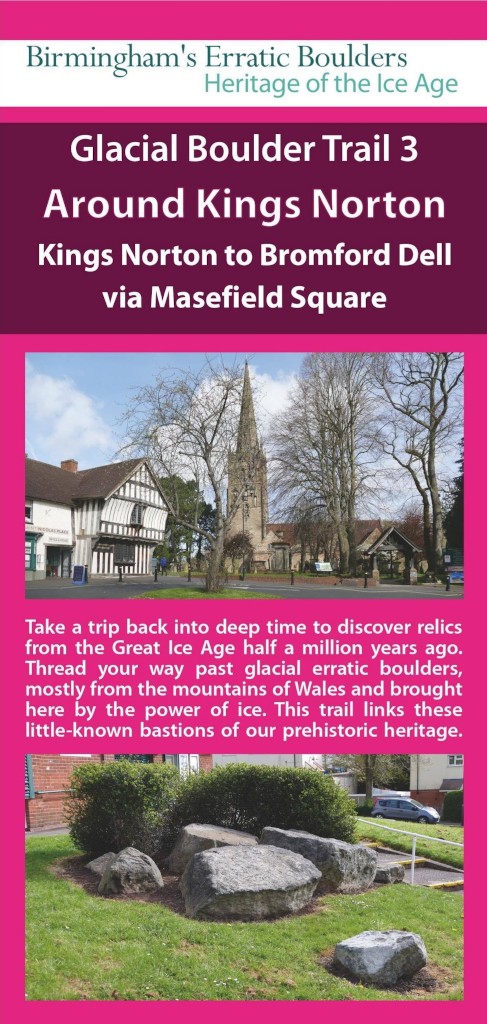
Glacial Boulder Trail 3 – Around Kings Norton. Kings Norton to Bromford Dell via Masefield Square [Copyright H&W EHT 2023].
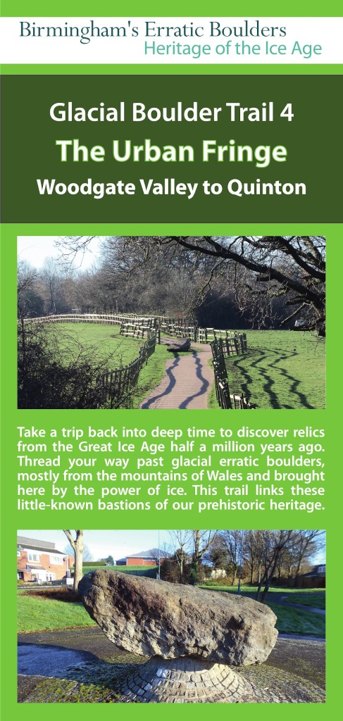
Glacial Boulder Trail 4 – The Urban Fringe. Woodgate Valley to Quinton [Copyright H&W EHT 2023].
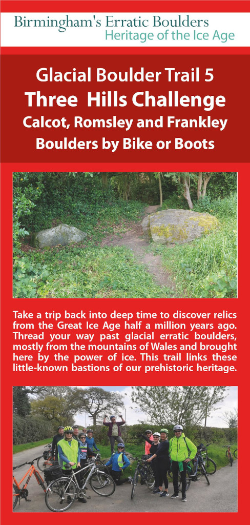
Glacial Boulder Trail 5 – Three Hills Challenge. Calcot, Romsley and Frankley – Boulders by Bike or Boots [Copyright H&W EHT 2023].
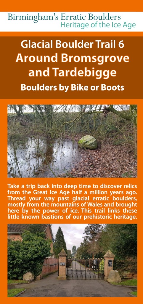
Glacial Boulder Trail 6 – Around Bromsgrove and Tardebigge – Boulders by Bike or Boots [Copyright H&W EHT 2023].
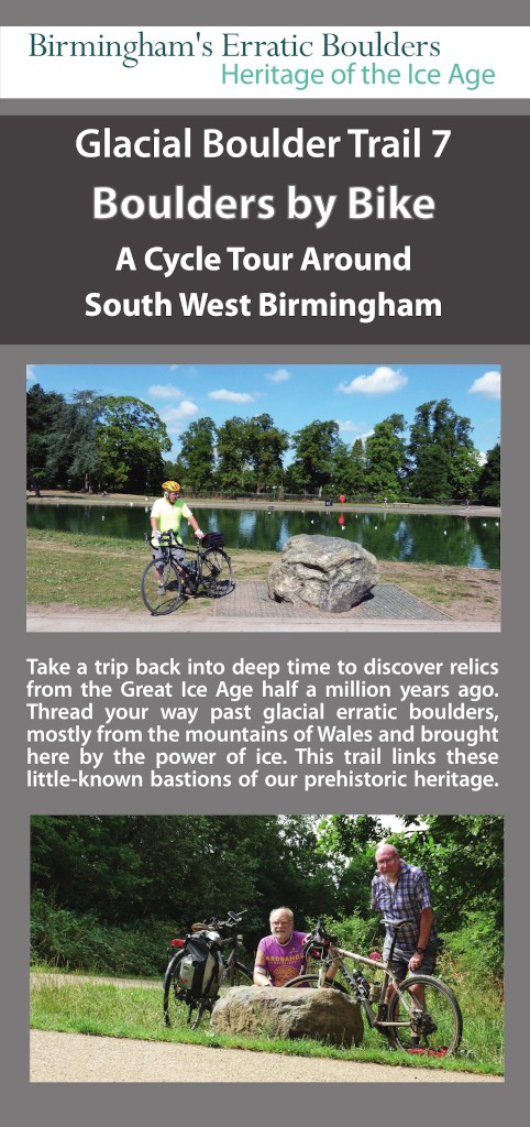
Glacial Boulder Trail 7 – Boulders by Bike. A Cycle Tour Around South West Birmingham [Copyright H&W EHT 2022].
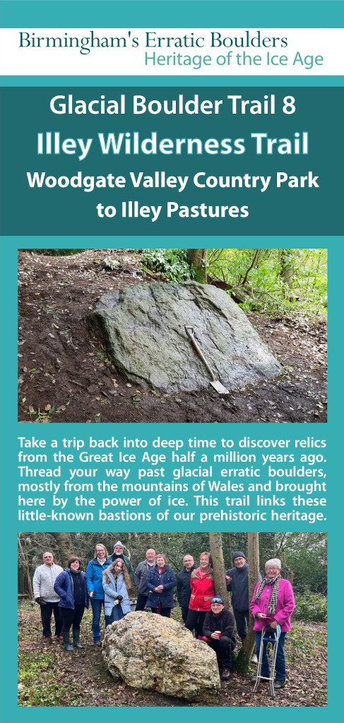
Glacial Boulder Trail 8 – Illey Wilderness Trail. Woodgate Valley Country Park to Illey Pastures [Copyright H&W EHT 2023].
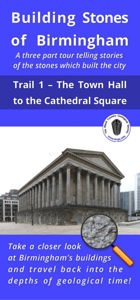
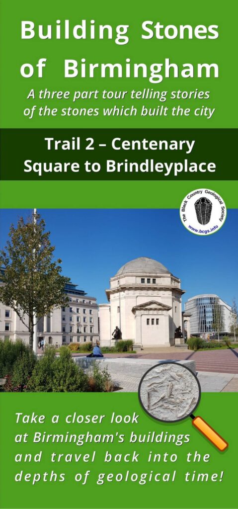
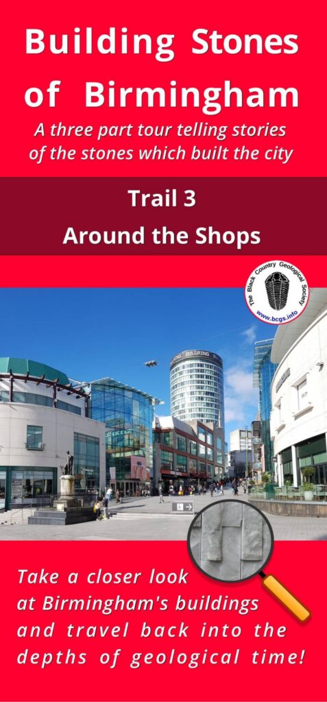
Building Stones of Birmingham:
The Curry Fund of the Geological Association has supported us in printing 3 free trail leaflets for the general public based on our 3 Birmingham Building Stones trails.
View the Building Stones of Birmingham,
Trail 1 – The Town Hall to Cathedral Square leaflet, 2021 [Copyright BCGS 2021].
Trail 2 – Centenary Square to Brindleyplace leaflet, 2021 [Copyright BCGS 2021].
Trail 3 – Around the Shops leaflet, 2021 [Copyright BCGS 2021].
Wren’s Nest Nature Reserve:
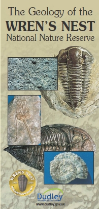
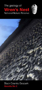
Wren’s Nest Hill was declared a National Nature Reserve in 1956 (the first in the U.K. for geology). The establishment of the Reserve was in recognition of the exceptional, international importance of the site as a source of Silurian (Wenlock) age fossils.
Download text from 1990 Geological Field Guide (PDF 196KB).
View the Wren’s Nest NNR Leaflet, 2005 [Copyright BCGS 2005].
View the Wren’s Nest NNR Leaflet, 2009 [Copyright BCGS 2009].
View the Geology of Wren’s Nest, Geopark leaflet [January 2016].
Barrow Hill & Rowley Hills
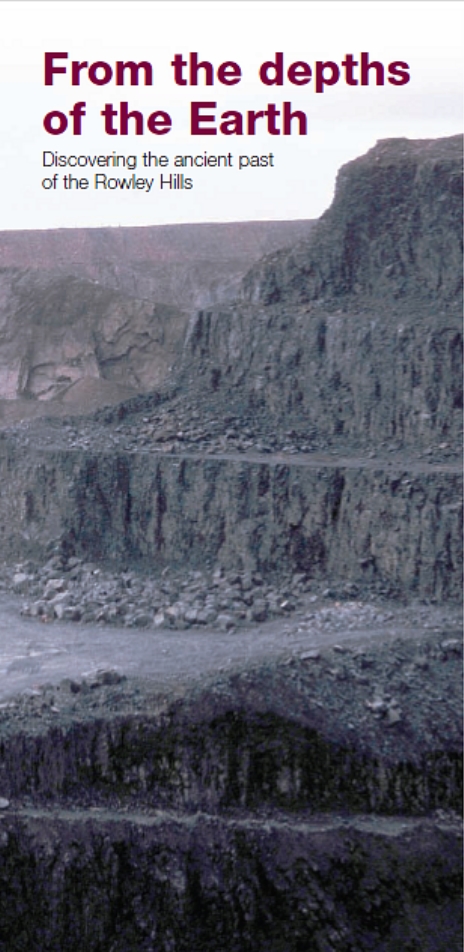
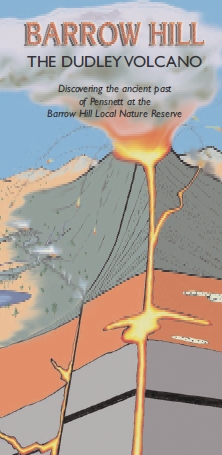
Barrow Hill is made of a dome shaped mass of dolerite (sometimes locally called Basalt) which is a hard dark grey/black igneous rock formed underneath what was once the Dudley Volcano. Rowley Hills is another large intrusive dolerite parts of which are still being exploited for roadstone.
View the Barrow Hill – Dudley Volcano Leaflet [Copyright BCGS 2005].
View the Rowley Hills Leaflet [Copyright BCGS 2010].
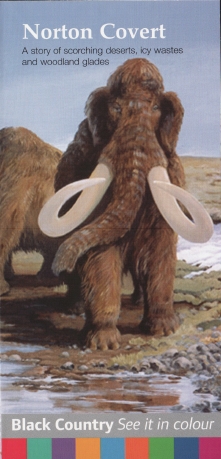
Norton Covert – near Stourbridge
Norton Covert is a former gravel pit which exploited the Ice age sands and gravels. It is now designated a Site of Importance for Nature Conservation.
View the Norton Covert Leaflet [Copyright BCGS 2008].
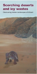
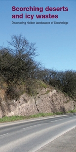
Scorching deserts & Icy wastes leaflets: Walsall, Sandwell, Wolverhampton and Stourbridge.
These leaflets explore the hidden landscapes of the West Midlands, looking at the evidence for desert climates 80 million years ago to ice age conditions 2.5 million years ago.
View the Walsall Leaflet [Copyright BCGS 2009].
View the Sandwell Leaflet [Copyright BCGS 2009].
View the Wolverhampton Leaflet [Copyright BCGS 2010].
View the Stourbridge Leaflet [Copyright BCGS 2010].
Barr Beacon – near Walsall
Barr Beacon is a Local Nature Reserve east of Walsall. This leaflet explores the geology and ancient climates from the evidence from the rocks and sediments exposed here.
View the Barr Beacon Leaflet [Copyright BCGS 2009].

