The Wren’s Nest, Other Photos
PP1_Central_Wrens_Nest_1960s_small.jpg
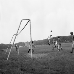
Central Area of Wren's Nest Hill. The rocks of the Coalbrookdale Formation are at the core of Wren's Nest Hill, and form the large flat central area. In 1965 the soft shales of the Coalbrookdale Formation were extensively exposed during the building of Wren's Nest School (seen in the background). The row of trees marks the boundary between the Coalbrookdale Formation and the overlying Much Wenlock Limestone Formation on the eastern side of the hill. This central area has been used for many activities including rifle range practice, farming, and playing fields as seen in this photo which was taken in the late 1960s by Peter Parkes.
PP2_Wrens_Nest_farmhouse_1950s_small.jpg
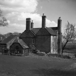
Wren's Nest Farmhouse stood at the southern end of the central area of Wren's Nest Hill. Photo thought to have been taken in the early 1950s.
PP3_Derelict_winding_house_1960s_small.jpg
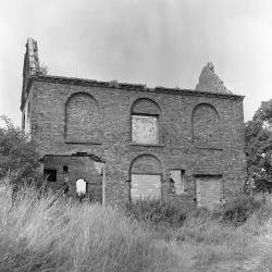
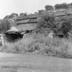
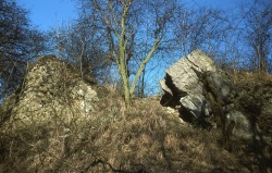
The Winding House stood in close proximity to Wren's Nest Farmhouse and was used for winding cables hauling materials from the surrounding limestone workings. Photographed in a ruinous state in the late 1960s by Peter Parkes.
Photo1_P1200244.JPG
View from the top of the Nodular Member ridge looking west across the Lower Quarried Limestone Member trench to the steeply dipping rocks that are at the junction of the Much Wenlock Limestone Formation and the underlying Coalbrookdale Formation. The building in the top left hand corner of the photo is the cable Winding House seen in the previous photo. Photo taken c. early 1950s.
Building_near_lime_kilns_late_60s.jpg
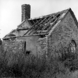
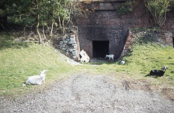
Derelict building situated near the entrance of former lime works. Photo taken in the late 1960s by Peter Parkes.
ppsouthern.jpg
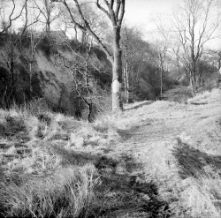
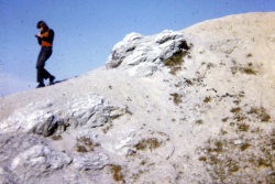
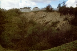
View on the southern end of Wren's Nest Hill. Due to the periclinal structure of Wren's Nest Hill, the rocks of the Nodular Member are dipping in a southerly direction. Photo by Peter Parkes in the 1970s.
PP20210311_002.jpg
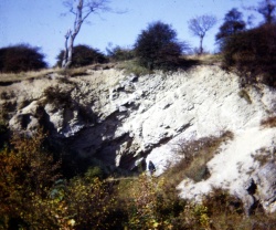
Exposure in the Lower Quarried Limestone Member, Mons Hill (east). Photo taken in 1978 by Peter Parkes.

