The Wren’s Nest, East
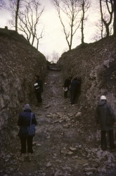
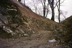
The NCC Cutting
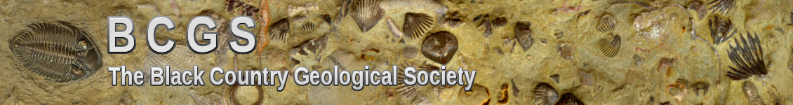
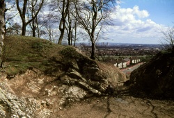
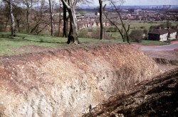
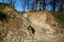
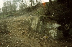
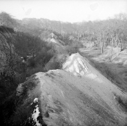
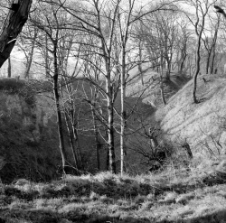
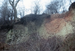
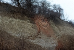
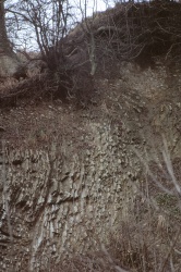
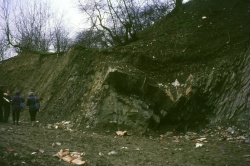
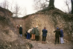
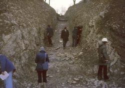
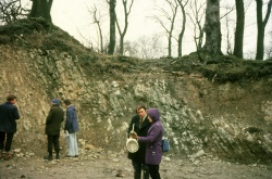
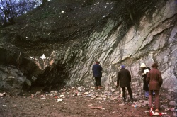
The New Cutting on the eastern side of Wren’s Nest hill was made in 1977 and was so called because a previous cutting was made on the western side of Wren’s Nest hill in 1936 by Dr AJ Butler. The new cutting is now more commonly known as the NCC (Nature Conservancy Council) Cutting and is a complete section through the geological sequence from the Coalbrookdale formation at the western end of the trench to the Lower Elton formation on the opposite side of Wrens Hill Road.
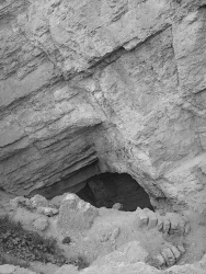
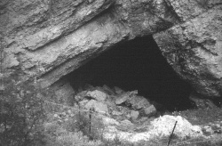
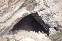
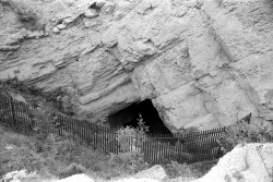
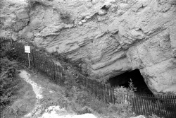
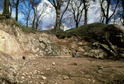
‘Fish and Chip’ Hole
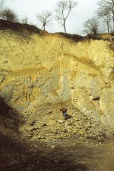
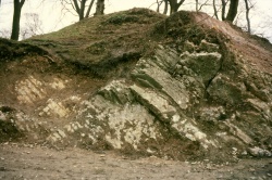
The enigmatically named ‘Fish and Chip’ Hole is an old mine entrance into the lower quarried limestone member and is situated in the large depression that is just west of the Murchison Viewpoint at the southern end of Wren’s Nest Hill.