Other sites around the Black Country
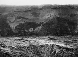
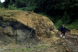
BIRUG 067_Kingswinford_Esker_Wall_Heath.jpg
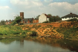
Kingswinford Esker - Wall Heath. Courtesy of The Lapworth Museum. Lantern slides - Folder LS6 - Coal and Coalfields.
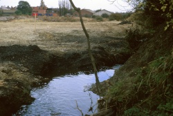
PP4_0001.jpg
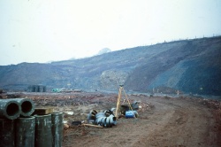
Water course contained within an outcrop of the thick coal of the Carboniferous middle coal measures, eastern edge of Mons Hill, Woodsetton, Dudley (SO 936 927). Photo taken in 1972 by Peter Parkes.
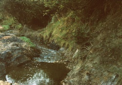
PP4_0002.jpg
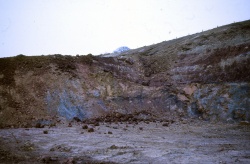
Water course contained within an outcrop of the thick coal of the Carboniferous middle coal measures, eastern edge of Mons Hill, Woodsetton, Dudley (SO 936 927). Photo taken in 1972 by Peter Parkes.
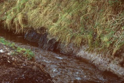
PP4_0003.jpg
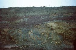
Water course contained within an outcrop of the thick coal of the Carboniferous middle coal measures, eastern edge of Mons Hill, Woodsetton, Dudley (SO 936 927). Photo taken in 1972 by Peter Parkes.
PP_20180319_0002.jpg
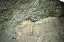
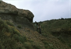
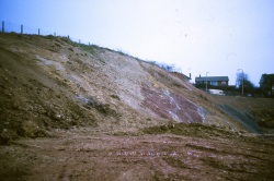
Glacial deposits, off Trinity Road, West Bromwich, SP 009 903. Photo taken in the mid 1970s by Peter Parkes.
PP_20180319_0003.jpg
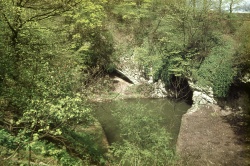
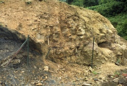
Exposure in the Much Wenlock Limestone Formation, Castle Mill Basin, Dudley SO 946 916. Photo taken by Peter Parkes in the mid 1970s.
PP_20180319_0004.jpg
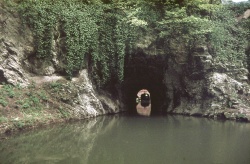
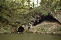
View showing the entrance to the section of the Dudley Canal Tunnel that runs from Castle Mill Basin to its opening near Tipton (Lord Ward’s Tunnel). Exposure in the Much Wenlock Limestone Formation, Castle Mill Basin, Dudley SO 946 916. Photo taken by Peter Parkes in the mid 1970s.
PP_20180319_0005.jpg
View showing the canal tunnel that was used to transport limestone from the Step Shaft and Seven Sisters mines at Wren's Nest. Exposure in the Much Wenlock Limestone Formation. Photo taken by Peter Parkes in the mid 1970s.
PP_0001.jpg
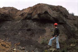
Etruria marl at Tividale (Duport). Taken shortly after the field trip in August 1975. Photo by Peter Parkes.
PP_0002.jpg
Etruria marl at Tividale (Duport). Graham Hickman in foreground. Taken shortly after the field trip in August 1975. Photo by Peter Parkes.
PeterOliver_105-106.jpg
Mucklow Hill exposure. Photo by Peter Oliver, 1976. Photo joining previous 2 photos.
PPSO927915WestofBurtonRd.jpg
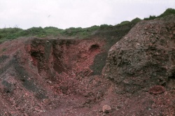
West of Burton Road, Dudley, SO927915. Burnt Ten Foot Measures and Thick Coal Rock (Middle Coal Measures). The burnt rocks are a consequence of an underground fire. Photo taken in the late 1970's by Peter Parkes.
PPSO928941GorgeRdSedgley.jpg
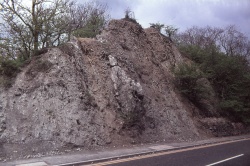
Gorge Road, Sedgley, SO928941. Road cutting through Much Wenlock Limestone Formation rocks. Photo taken in the late 1970's by Peter Parkes.
PP_20180319_0007.jpg
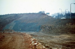
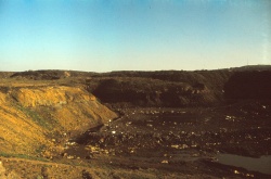
Marl Hole at Tividale (Duport) during landfill operations. Photo taken by Peter Parkes in the late 1970s.

